Log in
All resources
Create a design
Tools
1,974 Free Images of Great Lakes
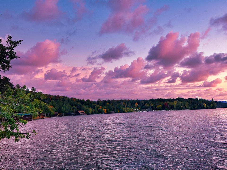
nature
united states
new york
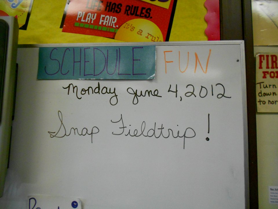
snap
conservation
connecting people with nature
usfws
lower great lakes
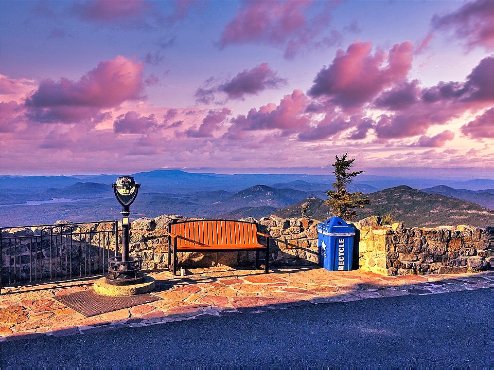
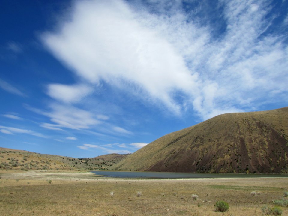
landscape
fishery
nature
water
new york
nature
nature
food
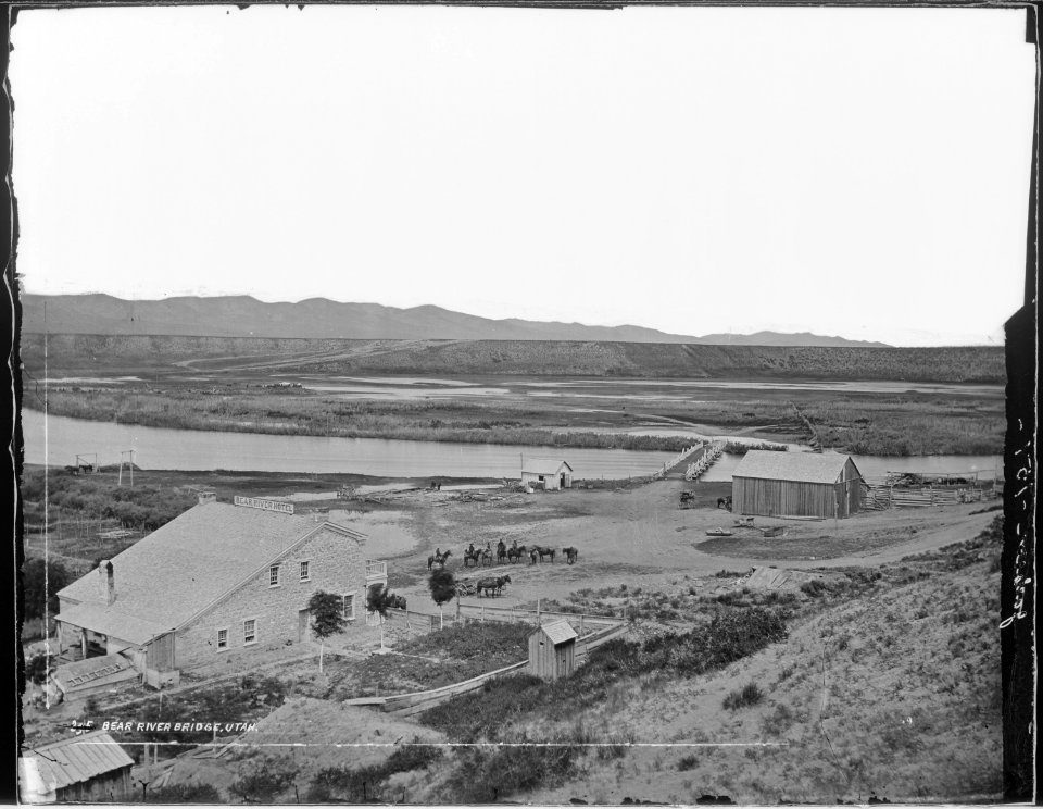
historical
history
animals
fish
columbia river gorge national scenic area
army
files from 115892967@n03 flickr stream
historical
history
landscape
travel
landscape
travel
new york
nature
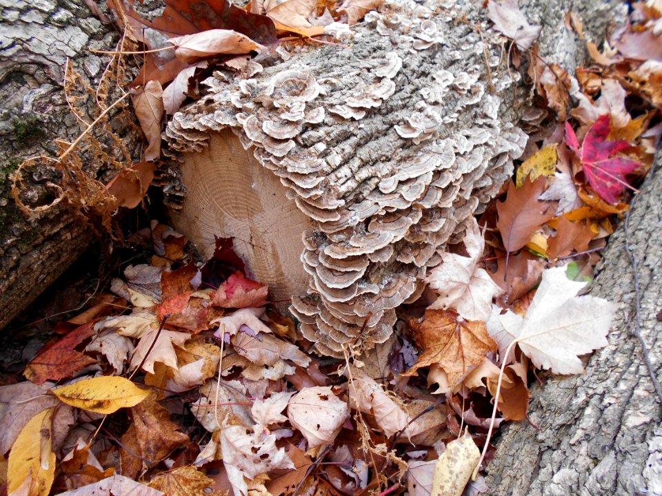
nature
forest
animals
nature
lawrence h. slaughter collection of english maps, charts, globes, books and atlases
covens en mortier
landscape
forest
landscape
travel
nature
tree
skyline
tree
school
fish
wildlife
animals
postcards published by john j. lee
postcards of ashtabula harbor
william henry jackson-hayden surveys
mud geyser
landscape
forest
landscape
travel
school
fish
new york
nature
nature
tree
school
fish
employee
people
nature
tree
landscape
skyline
wildlife
travel
the story of the greatest nations; a comprehensive history, extending from the earliest times to the present (1913)
william henry powell
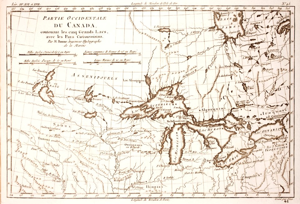
1806 maps of the united states
maps by john cary
nature
tree
nature
forest
american portrait paintings in the cleveland museum of art
henry church
new york
nature
maps by louis brion de la tour
1786 maps of north america
drawings by joseph mallord william turner in the cleveland museum of art
romanticism
historical
history
1779 maps of the united states
1770s maps of the caribbean
landscape
skyline
files from 115892967@n03 flickr stream
files from 115892967@n03 flickr stream
landscape
skyline
old maps of the western hemisphere
jacob van meurs
landscape
tree
animals
skyline
postcards published by john j. lee
postcards of ashtabula harbor
great lakes
il
great lakes
il
great lakes
il
great lakes
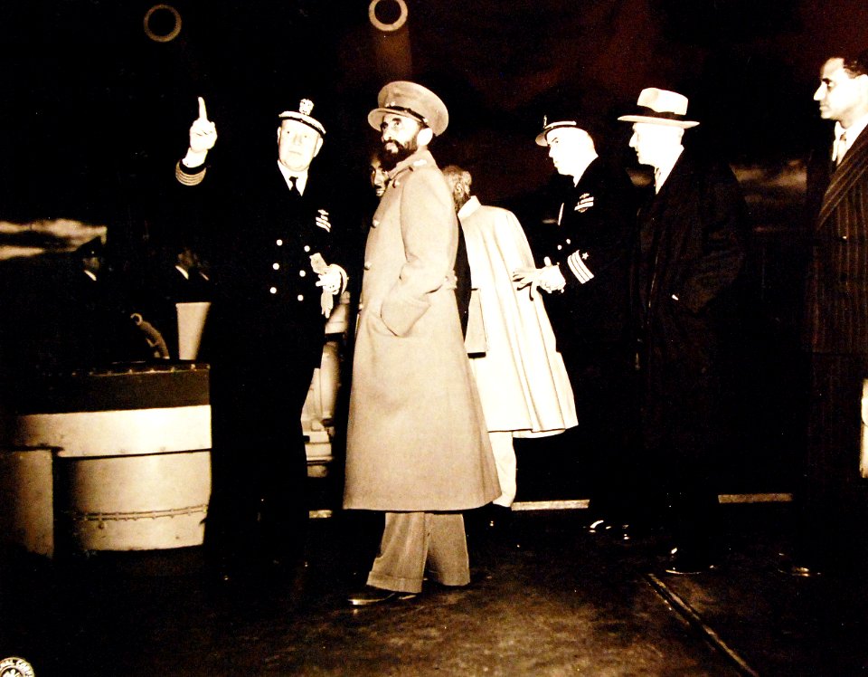
people
great lakes
officer
boydell's picturesque scenery of norway
svinesund
landscape
tree
mappe-monde geo-hydrographique (sanson and jaillot, 1674)
matthew andrews (ship, 1907)
ashtabula harbor
japanese woodblock prints in the san diego museum of art
utagawa school,kasei culture,ukiyo-e
landscape
tree
french-language maps
daniel de la feuille
historical
history
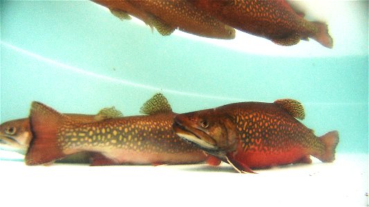
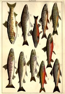
trout
fish
brochure
draft
maps by willem and johannes blaeu
1610s maps of the americas
18th-century maps of north america
1708 maps of north america
historical
history
files from 115892967@n03 flickr stream
historical
history
nicolas sanson. “mappe-monde, ou carte generale du monde.”
map of the bosphorus strait by guillaume sanson (1665)
nicolas sanson. “mappe-monde, ou carte generale du monde.”
1667 map of madagascar by guillaume sanson
1770s maps of alaska
robert de vaugondy
prints published by claes jansz. visscher (ii) in the rijksmuseum amsterdam
engravings of religion in the rijksmuseum amsterdam
1901 - 1974 of 1,974
/ 20